Current Qualité de l'eau
Consultez l'onglet Info Source pour comprendre ce que ces résultats signifient
Aucune donnée disponible
Ce statut est basé sur le dernier échantillon, prélevé le July 2nd, 2026 Youghiogheny Riverkeeper/Mountain Watershed Association met à jour le statut de cette plage dès que les résultats des tests sont disponibles. Ces résultats ont été publiés sur Swim Guide le July 2nd, 2026 at 12:52.
King's Covered Bridge est échantillonné Weekly de May 1st à September 30th.
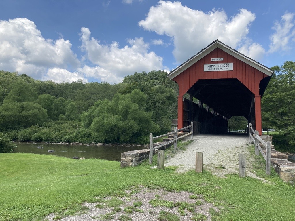
À propos de King's Covered Bridge
Météo actuelle
Information sur la source
The Youghiogheny Riverkeeper is a program of the Mountain Watershed Association, and was created to be the public advocate for the Youghiogheny River. Through grassroots efforts, the Riverkeeper defends against pollution, improves water quality, and conserves the ecological character and integrity of the entire region. Mountain Watershed Association will be testing popular swimming, wading, and paddling spots for E. coli so that users can make informed decisions about where to safely recreate! E. coli, and in particular one strain called O157:H7, is an emerging cause of foodborne and waterborne illness. Our Program follows the standards from PA DEP and EPA where a single grab sample for E. coli in recreational waters that exceeds 235 MPN/100 mL is generally considered to exceed the maximum threshold for safe full-body water contact." Please keep in mind a single grab sample shows a "snapshot" of water quality at any given time. A beach is marked Green when a sample results do not exceed this criteria. A beach is marked Red when a sample exceeds this criteria. A beach is marked Grey when there is no current or reliable water quality information. Beaches and other designated swimming locations are tested regularly, but areas not designated for swimming (swimming holes, locations along the river) are often not. Most streams in the region will have some measurable level of E. coli, however, by limiting your contact recreation to areas with lower levels you can greatly reduce your risk of water-borne illness. Throughout the swim season, May 1 to September 30, MWA will take weekly water samples in the Youghiogheny River watershed extending from the mouth of the Yough at McKeesport upstream to Confluence and at several locations on tributaries. All of this data is easily accessible and updated every Friday on MWA’s website, www.mtwatershed.com and at theswimguide.org. Finally, you can sign up for text alerts to be notified when new data are made available. Text “YoughSwimmableWaters” (no spaces) to 84483 to subscribe (data and messaging rates may apply)!
Plages près de celle-ci
Voir tout